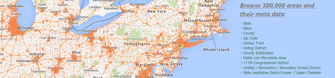
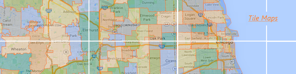
We focus on area boundary, data and the usages, and that is all! We cover about 380,000 areas in United States, including county,
zip code, city, voting district,
school district, and more. Boundary data is in huge size, but we optimize the data by dramatically reducing its size while keeping the accuracy.
As an example, the compression ratio of zip code boundary data is over 140:1 on zoom level 5, sweet? We hope you like the tools on USBoundary.com.
Your feedback is welcomed!